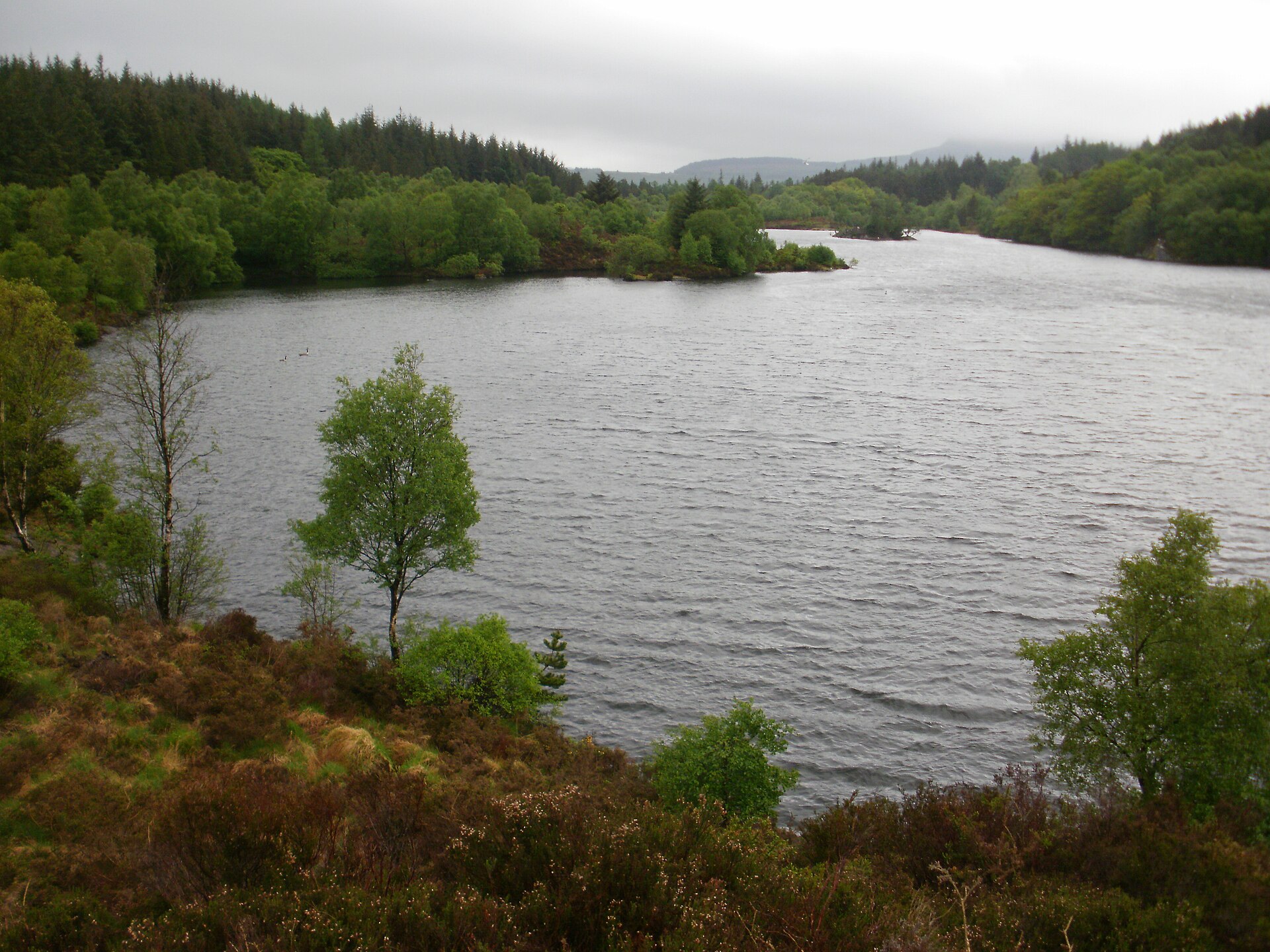
Betws-y-Coed is one of the best walking bases in Wales. You can step out of your door straight into Gwydir Forest Park, follow the rivers to waterfalls or climb to hidden lakes with views across Eryri. Here are our favourite walks, from easy strolls to half-day hikes.
Explore the Betws-y-Coed guide: Home | Things to Do | Waterfalls | Walks | Adventure | Snowdon from Betws | Where to Stay | Eat and Drink | Getting Here | Itineraries
Waymarked trails from the village
Natural Resources Wales maintains four waymarked trails from Betws-y-Coed. Three start from the Pont-y-Pair car park in the village centre.
| Trail | Grade | Distance | Climb | Time |
|---|---|---|---|---|
| Coed Tan Dinas Walk | Easy | 0.7 miles (1.2 km) | 34 m | 30 mins |
| Afon Llugwy Riverside Walk | Moderate | 1.5 miles (2.5 km) | 68 m | 1 to 1.5 hrs |
| Llyn Elsi Walk | Strenuous | 3.9 miles (6.2 km) | 318 m | 2 to 3 hrs |
| Llyn Parc Walk | Strenuous | 4.3 miles (6.9 km) | 331 m | 1.5 to 3 hrs |
Coed Tan Dinas Walk (easy)
A gentle loop on a wide boardwalk among towering Douglas firs, with a riverside picnic area. Ideal for families, pushchairs in dry weather and anyone who wants a taste of the forest without a climb.
Afon Llugwy Riverside Walk (moderate)
Follows the river upstream across the flood plain to the Miners’ Bridge, with mountain views along the way. A lovely hour, and you can extend it on to Swallow Falls.
Llyn Elsi Walk (strenuous)
The classic Betws walk. Start behind St Mary’s Church in the village centre and climb steadily through the forest to Llyn Elsi, the reservoir that supplies the village. At the north end stands the Ancaster Memorial, and from here the panorama of Eryri is one of the finest in North Wales. Allow two to three hours and take a picnic.
Llyn Parc Walk (strenuous)
Climbs into the forest above the Llugwy to a long, narrow lake, passing old lead mine entrances and ruins along the way, with a cliff-top viewpoint over the valley. A great walk for anyone interested in the area’s mining past.
Lakes above Trefriw: Llyn Crafnant and Llyn Geirionydd
A short drive north, these two lakes sit in quiet valleys either side of a forested ridge. A circular walk linking both is about 7.7 km (4.8 miles) with around 286 m of climbing, taking two to three hours. You pass old mine buildings near the footbridge over the Afon Crafnant. Llyn Crafnant in particular is often called one of the most beautiful lakes in Wales.
Capel Curig and the Snowdon view
Five miles west on the A5, the twin lakes of Llynnau Mymbyr give the classic postcard view of the Snowdon Horseshoe. Take the bus out and walk back towards Betws via Tŷ Hyll and Swallow Falls for a superb linear day.
Tŷ Hyll woodland
The gardens and woodland at Tŷ Hyll (The Ugly House) are open every day all year and are free to wander, with a tearoom in season. A short, peaceful stroll with a cup of tea at the end.
Mountains
For bigger days, Moel Siabod rises above Capel Curig, and Yr Wyddfa (Snowdon) is a 25 to 30 minute bus ride away. See Snowdon from Betws-y-Coed.
Walking safely in Eryri: weather changes quickly, and Capel Curig just up the road is one of the wettest places in Wales. Carry waterproofs, food, water and a map, wear proper boots on the longer walks and let someone know your route. The Eryri National Park Information Centre in the Royal Oak Stables has maps and up to date advice.
Walking FAQs
What is the best walk in Betws-y-Coed?
The Llyn Elsi walk, for the views. For something gentle, the Coed Tan Dinas boardwalk.
Are there easy walks in Betws-y-Coed?
Yes. The Coed Tan Dinas trail is 0.7 miles on a wide boardwalk, and the riverside paths around Pont-y-Pair are mostly level.
Where do the walks start?
Most waymarked trails start from the Pont-y-Pair car park. The Llyn Elsi walk starts behind St Mary’s Church.
Are dogs allowed?
Yes, on the forest trails, but keep them under close control near livestock and on a lead near the rivers.
Guide updated October 2026. Prices and opening times change, so please check with each venue before you travel.